RWI-GEO-GRID: Socio-Economic Data on grid level
The importance of small-scale data in the economic and social sciences is growing, for example to analyze neighborhood effects or to control for spatial factors. In Germany, however, the statistical offices do not provide socioeconomic data for the whole country below the district or municipality level.
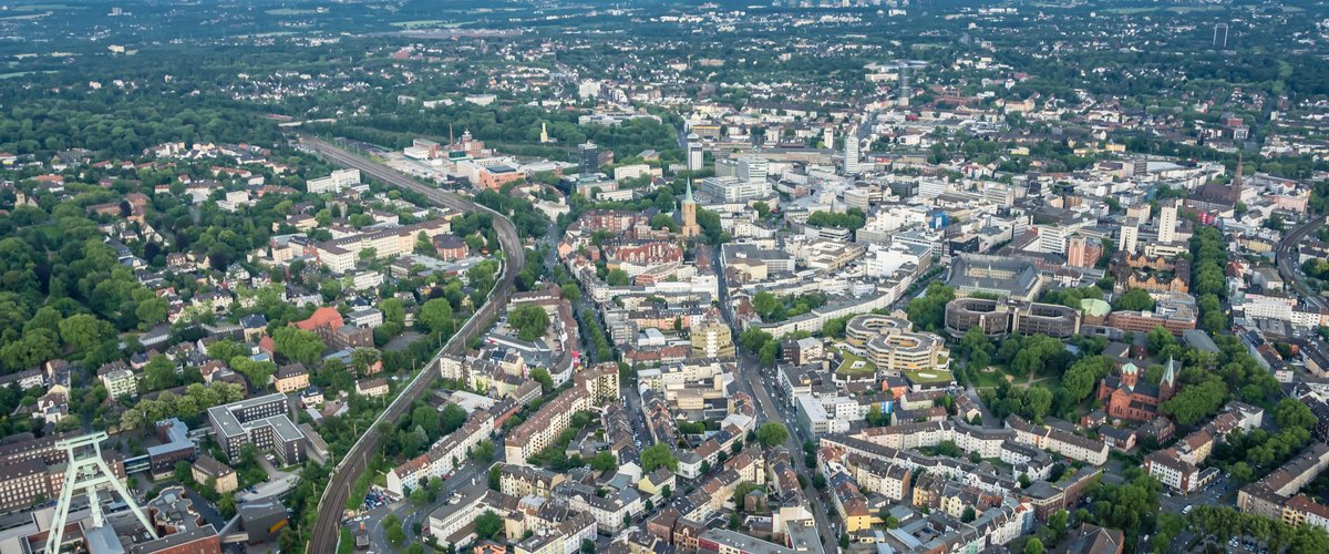
The RWI-GEO-GRID dataset, which can be used as a Scientific Use File, is based on 1km² grids and thus serves the gap of official statistics. The grids have the advantage that they are time-invariant and evenly distributed over Germany and are based on the EU-wide INSPIRE (Infrastructure for Spatial Information in Europe) projection. Beyond that, however, they can be aggregated to any larger regional level. The basis of this dataset is a cooperation with microm Mikromarketing und Consult GmbH.
The data set is based on nearly 220,000 grid cells in which residential and commercial properties are found. For these rasters, socioeconomic data are provided in the RWI-GEO-GRID dataset. For each grid cell, the dataset contains a variety of variables on households, household structure, demographics, share of foreigners, mobility, purchasing power, as well as unemployment rate and loan default risk. For information on data access please follow this Link.
Data Availabilty
| RWI-GEO-GRID (SUF On-Site) | RWI-GEO-GRID (SUF Off-Site) | |
| Current Version | V15 | V15 |
| Access | Researchers* in Data Secure Room | Researchers* |
| Time coverage | 2005, 2009-2023 | 2005, 2009-2023 |
| Time Unit | Year | Year |
| Smallest regional unit | Grid (1x1 km) | Grid (1x1 km) |
| Differences between variations | No further anonymization steps are applied. | Anonymization of variables with absolute values if a grid contains fewer than 10 households or individuals. |
*PhD students, research assistants, postdocs or persons with a higher position in a publicly funded research institution, also on behalf of students interested in data.
The dataset is available for scientific purposes as Scientific Use File (SUF) for a fee of 200 Euro + 19% VAT. A use of the weakly anonymized dataset is possible in the context of a guest stay at the FDZ Ruhr, if the SUF was used before. The weakly anonymized dataset also includes very sparsely populated 1km² cells, which were anonymized in the Scientific Use File. These are anonymized in the respective category if population, number of houses, number of households or number of commercial properties are each smaller than 10. For information on data access please follow this Link.
Data Descriptions
Breidenbach, Philipp and Heinze, Inga (2025), FDZ Data description: Socio-Economic Data on Grid Level (RWI-GEO-GRID v15) – 2023, RWI Projektberichte, Essen. Download.
Breidenbach, Philipp and Eilers, Lea. "RWI-GEO-GRID: Socio-economic data on grid level " Jahrbücher für Nationalökonomie und Statistik, vol. 238, no. 6, 2018, pp. 609-616. https://doi.org/10.1515/jbnst-2017-0171
Citation
RWI – Leibniz Institute for Economic Research, & microm Micromarketing-Systeme und Consult GmbH. (2025). Socio-economic data on grid level (SUF Off-site) (Version 15) [Data set]. RWI – Leibniz Institute for Economic Research. https://doi.org/10.7807/MICROM:SUF:V15
RWI – Leibniz Institute for Economic Research, & microm Micromarketing-Systeme und Consult GmbH. (2025). Socio-economic data on grid level ( SUF On-site) (Version 15) [Data set]. RWI – Leibniz Institute for Economic Research. https://doi.org/10.7807/MICROM:V15
Contact:
If you have any questions about our data services or data applications, please use the FAQ of the FDZ Ruhr at Forum4MICA. For further questions, please contact us from Monday to Thursday: fdz@rwi-essen.de
![]()
The Forum4MICA offers you information on the use of research data in the social, behavioural, educational and economic sciences.